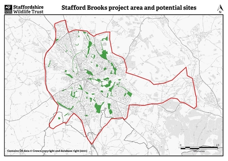
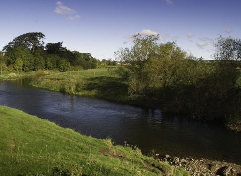
Stafford Brooks is a partnership project between Highways England, Staffordshire Wildlife Trust, Stafford Borough Council and the Environment Agency with the objective of making major improvements to habitats close to the Rivers Sow and Penk in Stafford.
Staffordshire Wildlife Trust carried out Nature Recovery Network mapping for Stafford Borough which was completed in 2019 and has now been adopted as part of the Local Plan process. Using this mapping, the project has identified 25 sites which can be improved for biodiversity, flood mitigation and water quality.
The project will restore and create new habitats on a range of sites across the area including Sites of Special Scientific Interest (SSSIs) Doxey Marshes and Radford Meadows.

Staffordshire Wildlife Trust
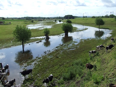
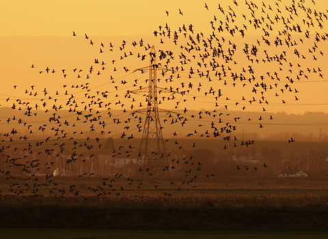
The work aims to enable wildlife to thrive in the area, mitigate flooding issues and allow people to be better connected to nature by improving public access to sites and creating more green space for families to enjoy. These restored sites could become home to a variety of wildlife including Otter, Water Vole, Native Black Poplar, wading birds such as Lapwing and Snipe and a range of amphibians.
Action will be taken to help join up some sites, so habitats are more resilient, and wildlife is less isolated. The project will provide important ecological connectivity between two other landscape-scale projects in the county, the European Regional Development Funded (ERDF) SUNRISE and the National Lottery Heritage Funded Transforming the Trent Valley (TTTV).


